


finding_nimo
MyBoerse.bz Pro Member
Agisoft Metashape Professional v1.7.0 Build 11429 (x64) Multilingual

Agisoft Metashape Professional v1.7.0 Build 11429 (x64) Multilingual | 178 MB | Language: Multilanguage
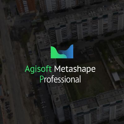
Agisoft Metashape (formerly PhotoScan) is a stand-alone software product that performs photogrammetric processing of digital images and generates 3D spatial data to be used in GIS applications, cultural heritage documentation, and visual effects production as well as for indirect measurements of objects of various scales.
Wisely implemented digital photogrammetry technique enforced with computer vision methods results in smart automated processing system that, on the one hand, can be managed by a new-comer in the field of photogrammetry, yet, on the other hand, has a lot to offer to a specialist who can adjust the workflow to numerous specific tasks and different types of data. Throughout various case studies Metashape proves to produce quality and accurate results.
Photogrammetric triangulation
- Processing of various types of imagery: aerial (nadir, oblique) & close-range.
- Auto calibration: frame (incl. fisheye), spherical & cylindrical cameras.
- Multi camera projects support.
Dense point cloud: editing and classification
- Elaborate model editing for accurate results.
- Points classification to customize geometry reconstruction.
- .LAS export to benefit from classical point data processing workflow.
Digital elevation model: DSM/DTM export
- Digital Surface and/or Digital Terrain Model depending on the project.
- Georeferncing based on EXIF meta data/flight log: GPS/GCPs data.
- EPSG registry coordinate systems support: WGS84, UTM, etc.
Georeferenced orthomosaic export
- Georeferenced orthomosaic: most-GIS-compatible GeoTIFF format; .KML file to be located on Google Earth.
- Export in blocks for huge projects.
- Color correction for homogeneous texture.
Measurements: distances, areas, volumes
- Inbuilt tools to measure distances, areas and volumes.
- To perform more sophisticated metric analysis Metashape products can be smoothly transferred to external tools thanks to a variety of export formats.
Ground control points: high accuracy surveying
- GCPs import to control accuracy of the results.
- Coded/non-coded targets auto detection for fast GCPs input.
- Scale bar tool to set reference distance without implementation of positioning equipment.
Python scripts: customize processing workflow
- In addition to Batch processing a way to save on human intervention, Python scripting suggests customization options:
a parameters template for several similar data sets; intermediate processing results inspection; etc.
Multispectral imagery processing
- RGB/NIR/thermal/multispectral imagery processing.
- Fast reconstruction based on preferable channel.
- Multichannel orthomosaic generation for built-in vegetation indices (NDVI) calculation and export.
3D model: generation and texturing
- Various scenes: archaeological sites, artifacts, buildings, interiors, people, etc.
- Direct upload Sketchfab resource and export to varios popular formats.
- Photorealistic textures: HDR and multifile support.
4D modeling for dynamic scenes
- Multi camera station data processing for creative projects in cinemato- graphic art, game industry, etc.
- Basis for numerous visual effects with 3D models reconstructed in time sequence.
Panorama stitching
-3D reconstruction for data captured from the same camera position camera station, provided that at least 2 camera stations are present.
- 360 panorama stitching for one camera station data.
Network processing
-Distributed calculations over a computer network to use combined power of multiple nodes for huge data sets processing in one project.
Release Notes:
Homepage:
Größe: 178 MB
Sprache: Multilingual-Deutsch
Format: .rar / .exe
Plattform: Windows (64 Bit)
HOSTER:
K2s.cc (Keep2Share)
Rapidgator.net
Nitroflare.com
Uploadgig.com
DOWNLOAD